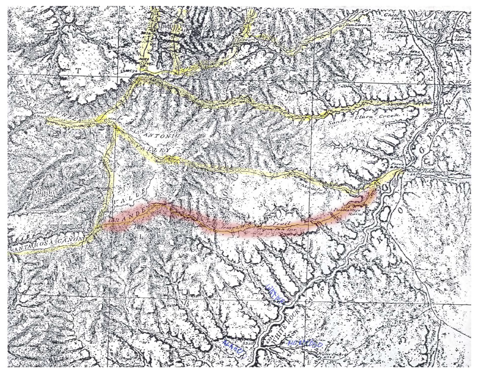
Pajarito Plateau, New Mexico, 1876, from map no. 69 of the Geographical Surveys West of the 100th Meridian, commonly called the Wheeler Report after the expedition's leader, George M. Wheeler. The Jemez Trail is highlighted in red.
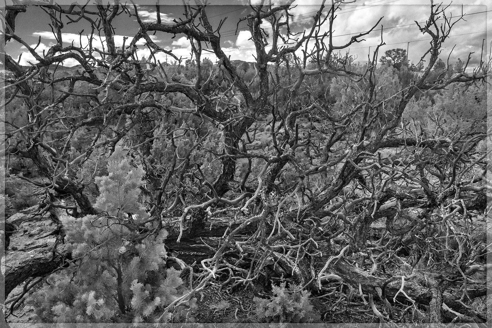
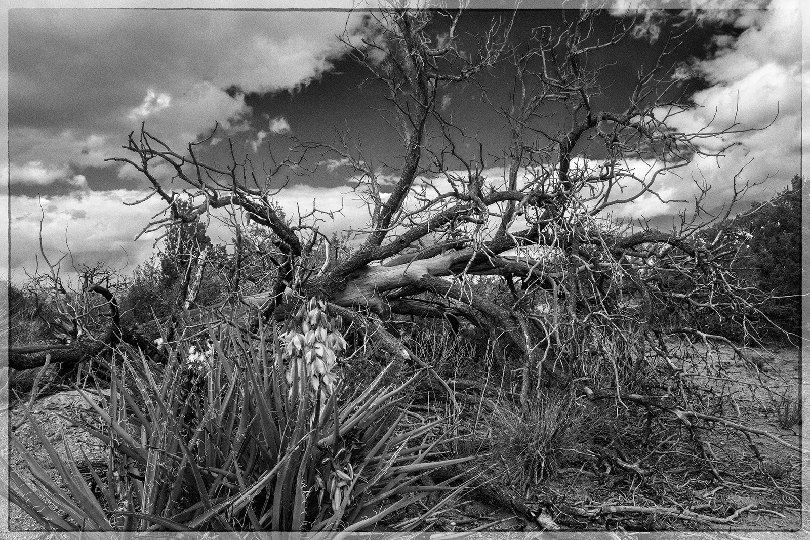
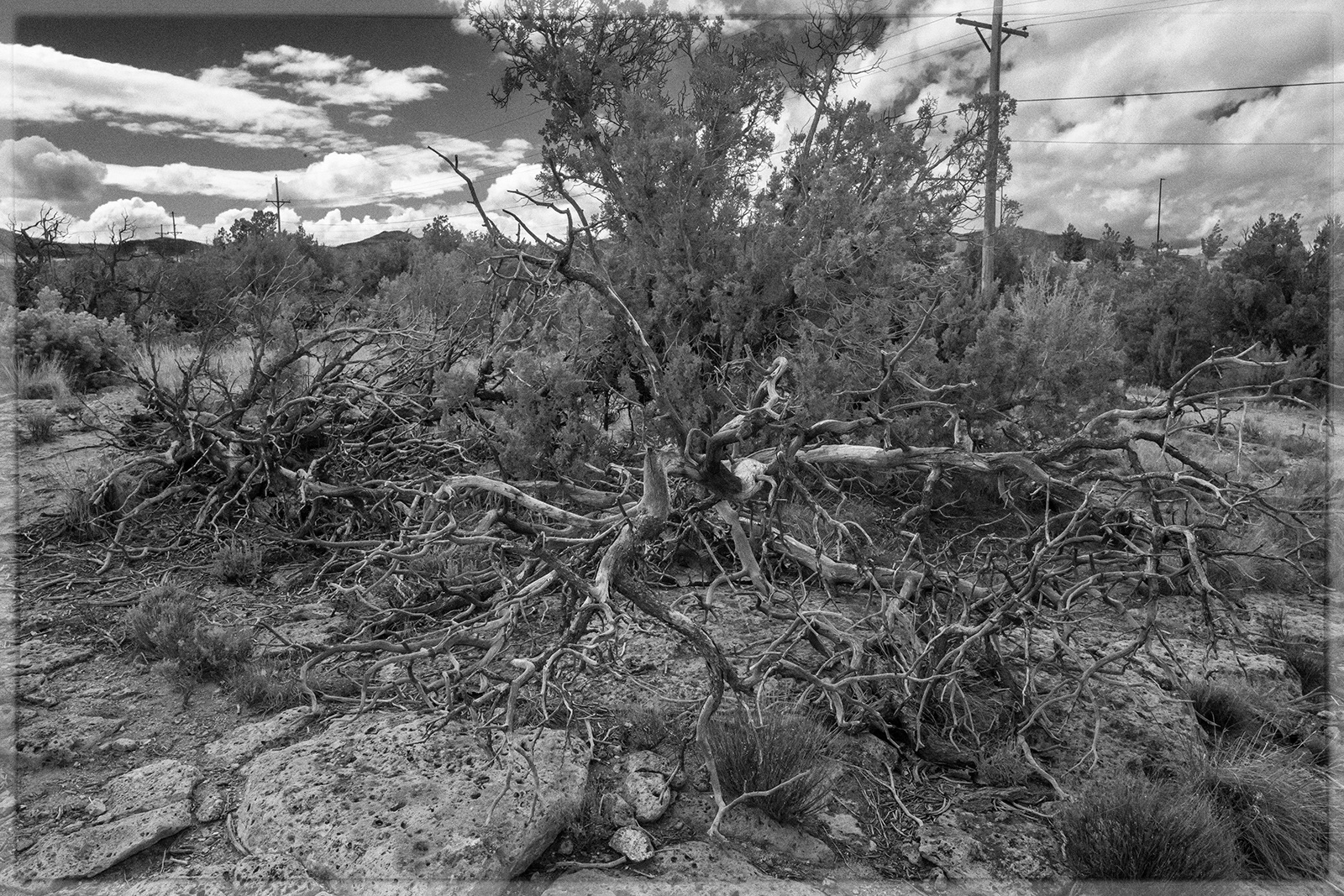
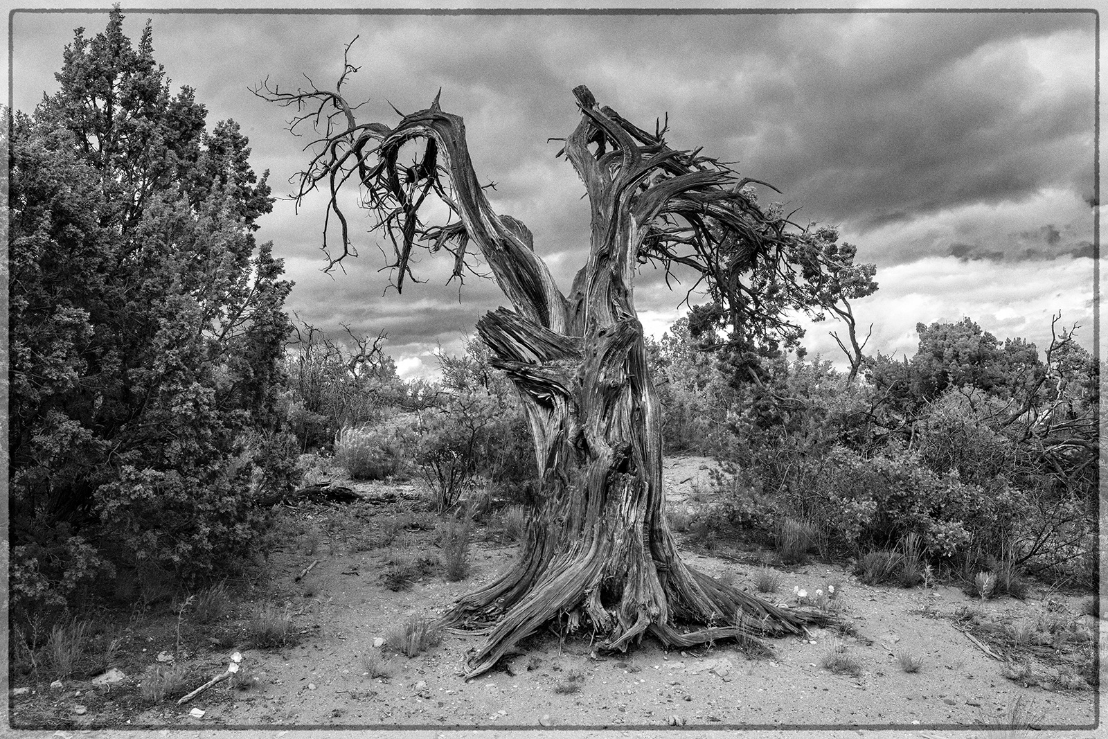
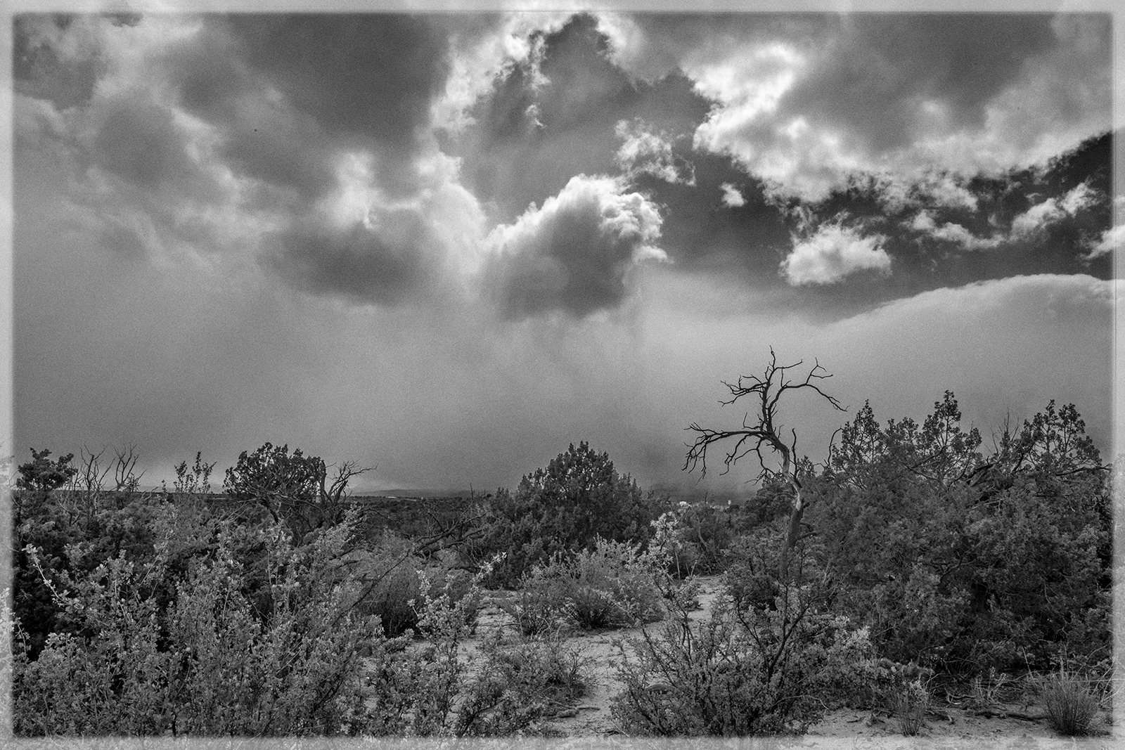

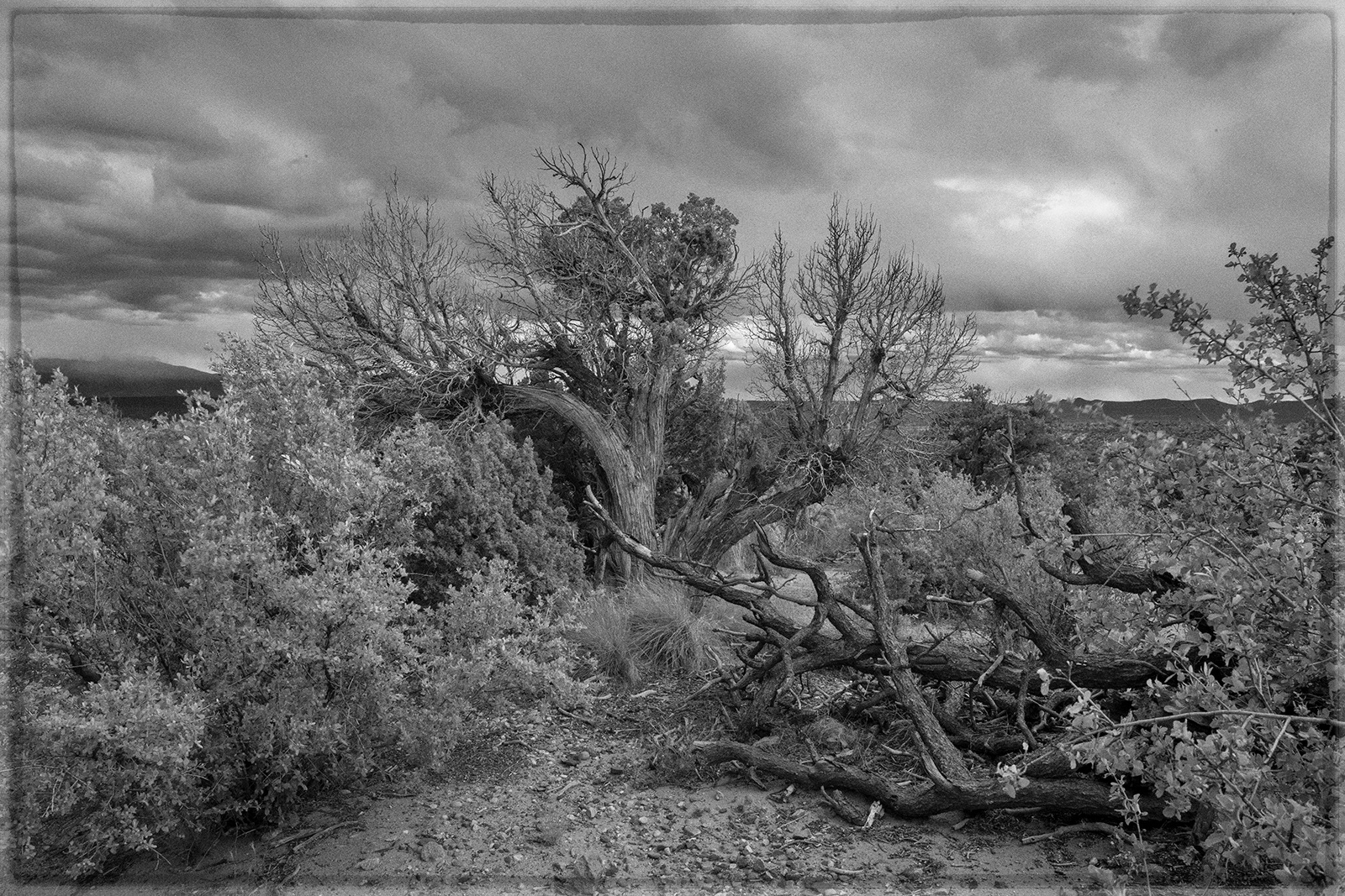
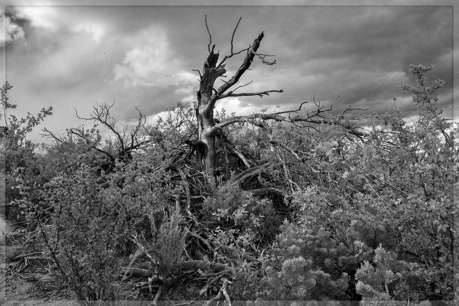
I can’t say what it was that pushed Asya and me onto the Jemez Trail outside of Los Alamos, New Mexico. No one seems to call it the Jemez Trail any longer, and I’m not certain whether anyone much did. It appears by this name on George M. Wheeler’s survey map no. 69 of 1876, one of three routes across the Pajarito Plateau––a maze of erosion-carved canyons as much as eight hundred feet deep, which dissect the plateau into mesas. It could be that this is the same trail named as a “waggon [sic] road” by surveyor Rueben E. Clements in 1857, in the first American survey of the area––a study that formed part of the U.S. government’s effort to impose new land management protocols on the recently organized New Mexico Territory. I would guess that the trail is prehistoric, or parts of it are, inasmuch as it lies more or less in a direct line between the ancient Pueblo Indian settlements of San Ildefonso and Cochiti. (And I can’t help but wonder: insofar as San Ildefonso marked the westernmost point of the Tewa speaking tribes, and Cochiti the northernmost point of the Keresan speaking tribes, perhaps the trail formed part of a cross-lingual travel and communications route?) The section of the trail that Asya and I walked seems to have been the main road originally used by the Manhattan Project to haul supplies to build Los Alamos. We entered just across highway 502 from the reconstructed main gate, and walked to the southward looking edge of the cliff, next to a sheer dropoff of hundreds of feet. The vista over the Jemez Mountains was sublime.
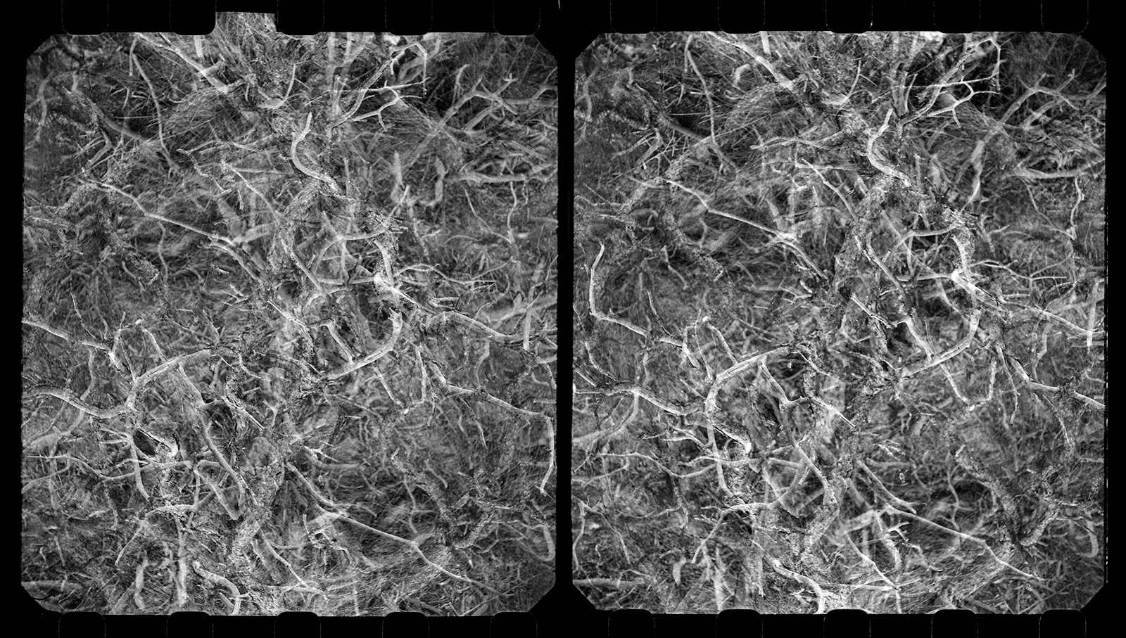
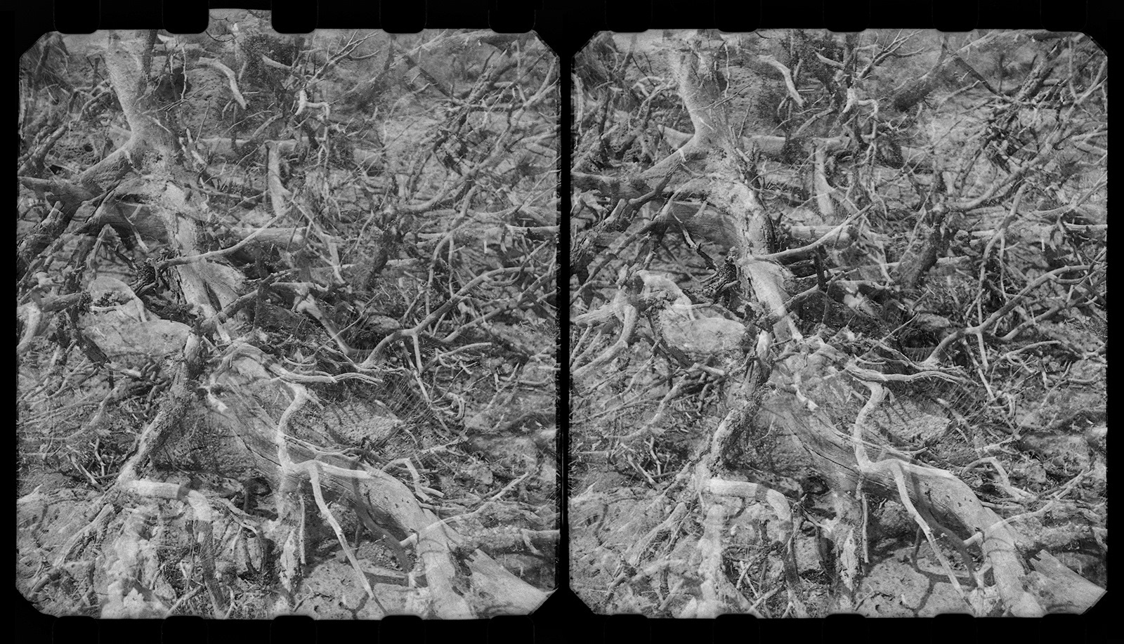
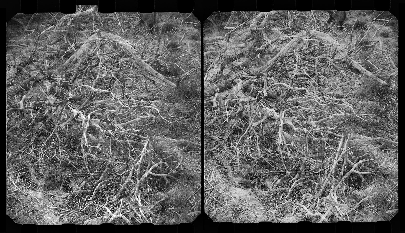
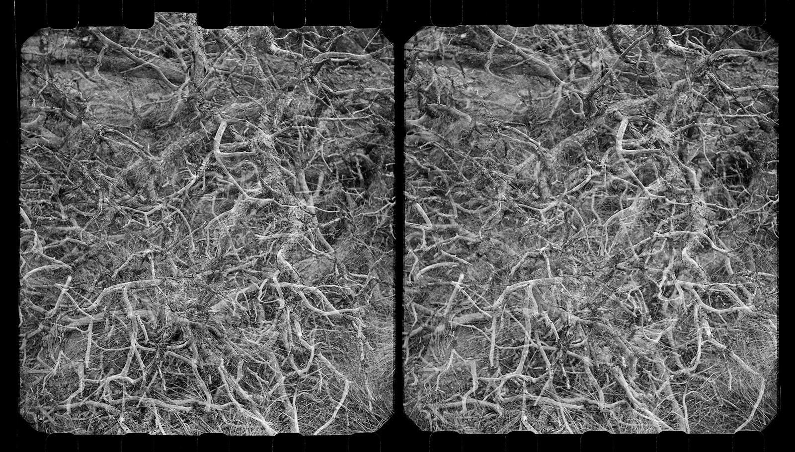
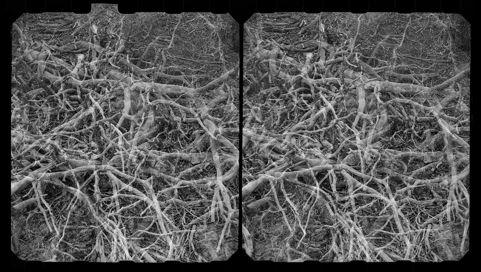
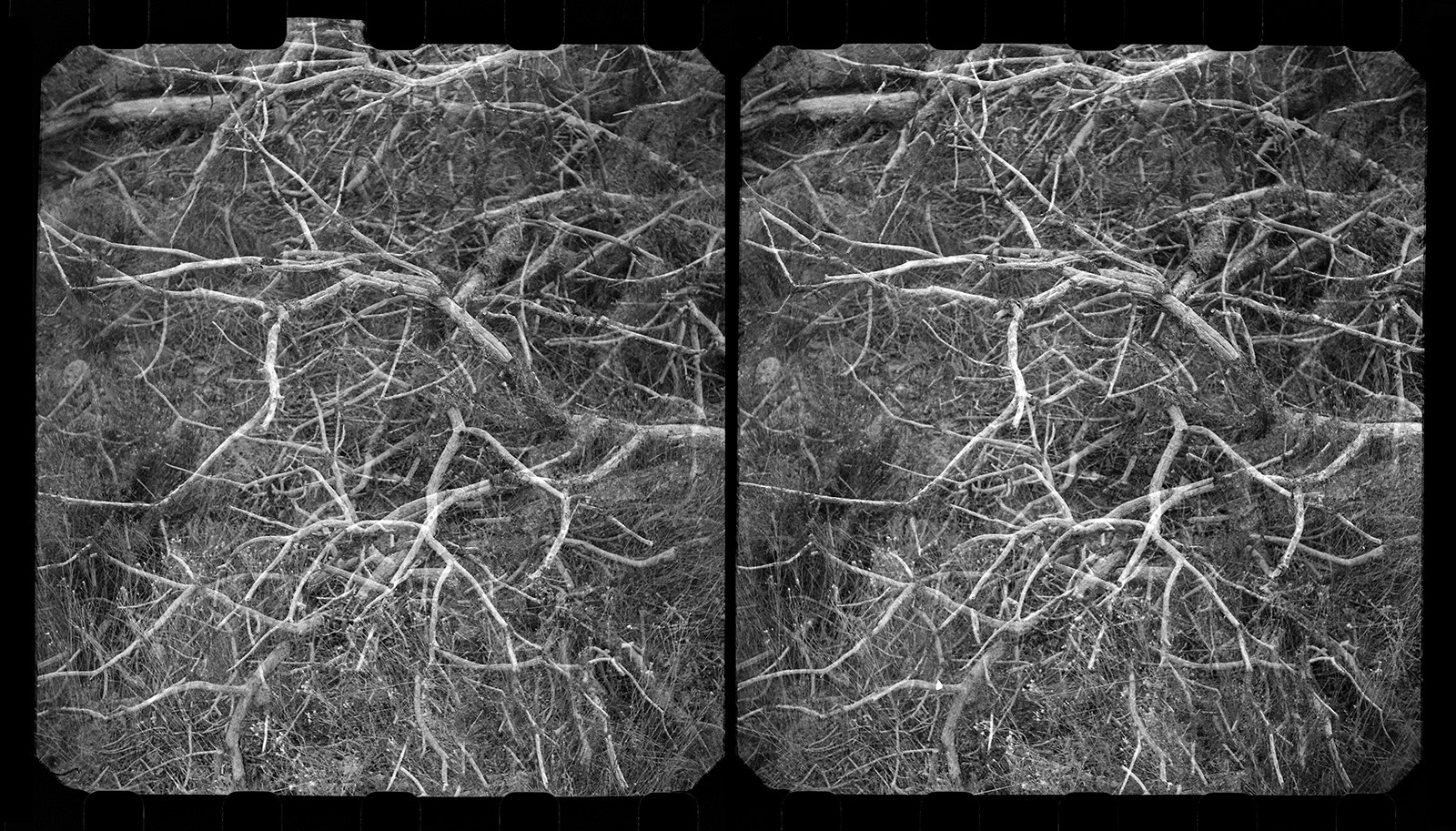
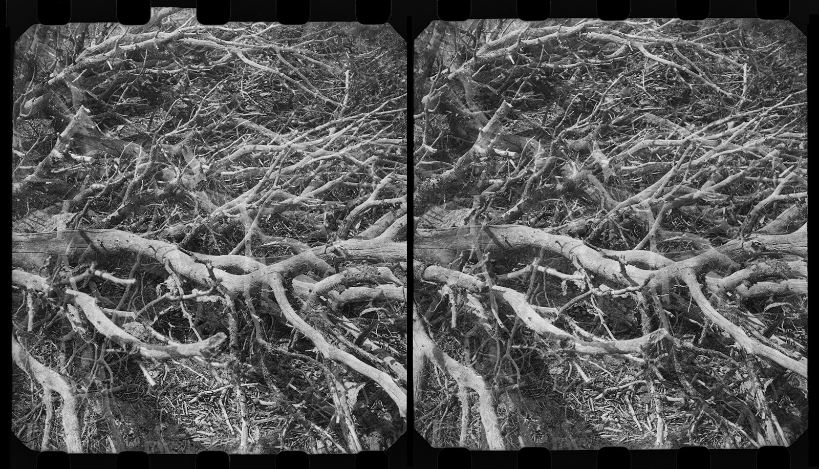
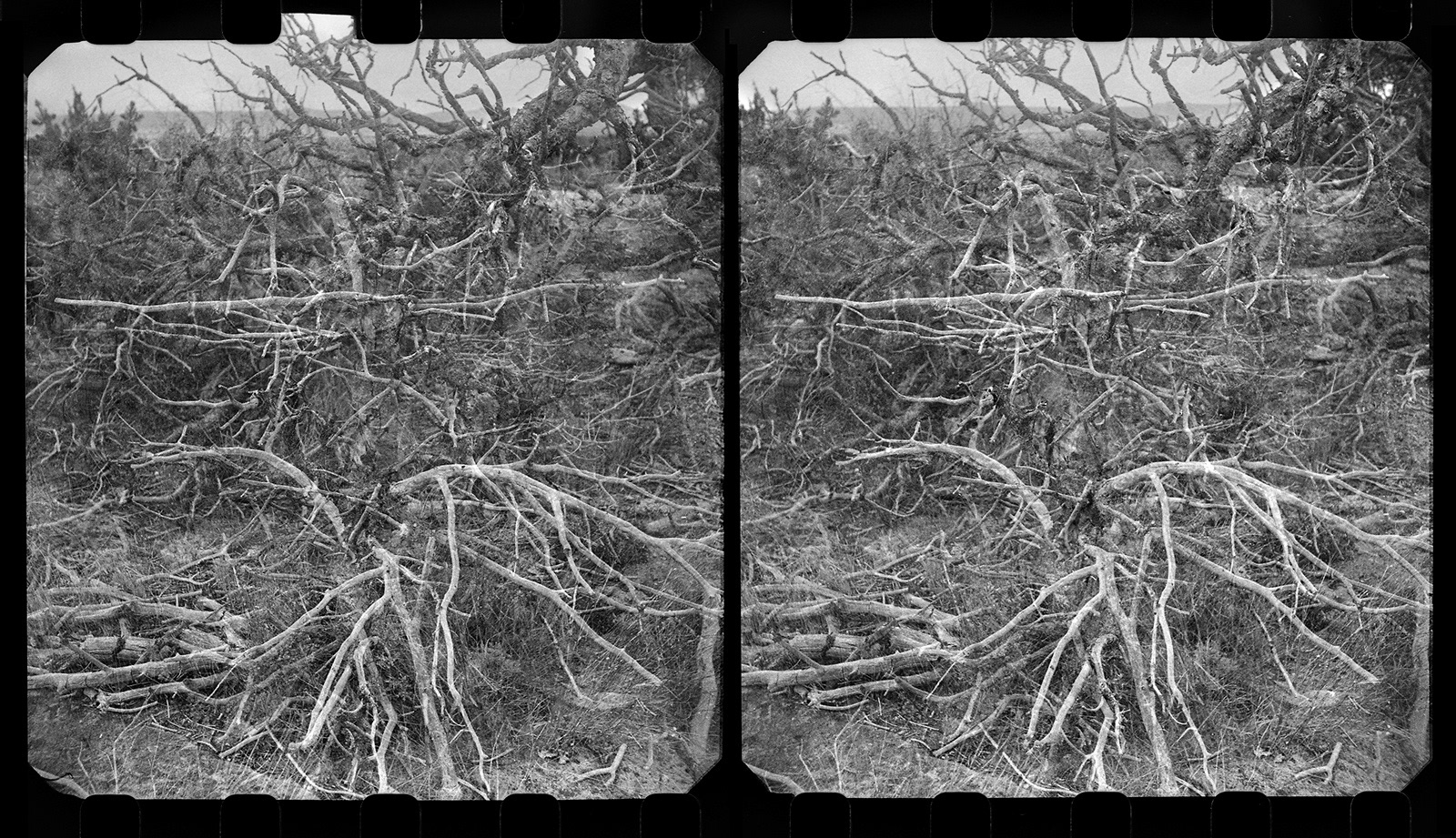
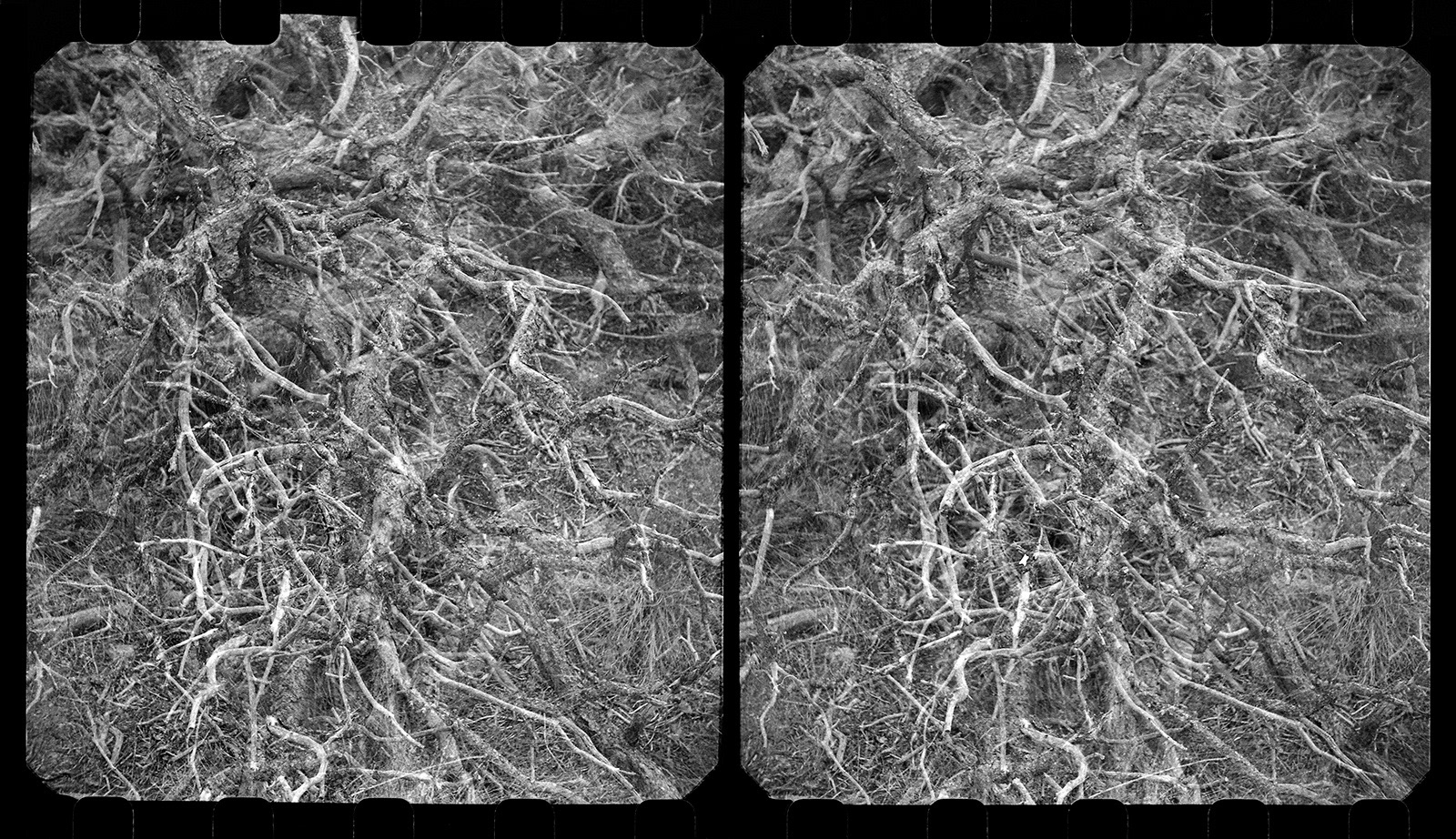
Asya jumped away like a gazelle and began to photograph, and I was something more like a creeping beetle, drawn into the intricacies of dead and dried and decaying flora. Two sets of visions began to arrive in me at the same time, by way of the two cameras I was carrying. One type of thinking emerged through my Leica, and another through my Revere stereo camera, a camera designed to make pictures to be seen––grappled with––stereoscopically. The sequence here joins these two types of pictures, offered in a rhythm of single images (from the single-lensed Leica) and diptychs (from the double-lensed Revere). The exchange of one plus two plus one plus two makes a hopscotch of seeing, with some unexpected tripcords. Seen side by side, as here on my website, you could almost miss that the stereo pictures are double exposures––but seen in a stereo viewer, you would encounter them for what (else) they are, namely large-seeming microspheric spaces suffused with dirt and plant fiber.
Asya jumped away like a gazelle and began to photograph, and I was something more like a creeping beetle, drawn into the intricacies of dead and dried and decaying flora. Two sets of visions began to arrive in me at the same time, by way of the two cameras I was carrying. One type of thinking emerged through my Leica, and another through my Revere stereo camera, a camera designed to make pictures to be seen––grappled with––stereoscopically. The sequence here joins these two types of pictures, offered in a rhythm of single images (from the single-lensed Leica) and diptychs (from the double-lensed Revere). The exchange of one plus two plus one plus two makes a hopscotch of seeing, with some unexpected tripcords. Seen side by side, as here on my website, you could almost miss that the stereo pictures are double exposures––but seen in a stereo viewer, you would encounter them for what (else) they are, namely large-seeming microspheric spaces suffused with dirt and plant fiber.
I can’t say what it was that pushed me to carry two cameras in the first place. And I can’t say what it is that makes me want to see these very different kinds of pictures in contra-positionings, set off against one another with an almost repellant energy. Perhaps the prehistoric trail that emerged only uncertainly when the surveyors and mapmakers went out to tame the land is linked by poetic forces to new picture-trails––and to the alternately navigable and disappearing thought-routes that they mark out.
Santa Fe, 2019